
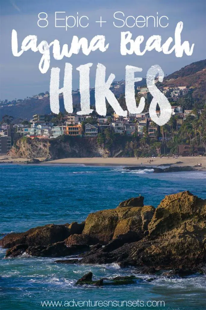
While the area may be known for its beaches, the Laguna Beach hikes + hiking trails are enough to keep anyone entertained. Growing up just over the hill in Laguna Niguel, I have had the change to explore pretty much all the networks of Laguna Beach hiking trails and what makes each one awesome.
Laguna Beach is unique because, while being home to many of the best (and my favorite) beaches in the whole world, it’s set at the base of a hilly coastal range. This means that when you get a bit tired of laying on the sand, you can set your sights to the hills to the east and most likely find a trail up any one of them!
Most Laguna beach hikes offer sweeping and amazing views of the big blue Pacific Ocean, but many also head in the direction of Aliso Viejo (the city on the other side of the hills). There’s a massive tail network that spans between the Aliso and Woods Canyon Wilderness, the Laguna Coast Wilderness, and Crystal Cove State Park, and there are trails from just a mile or two all the way up to 10+ mile loops. The choice is yours!
Below I have listed 8 epic hikes along with their difficulty and length for perspective. I prioritized the most popular Laguna Beach hikes and the ones with amazing views! All of the trail names and places I reference below are visible on Google Maps. This way you should be able to choose the best hikes in Laguna Beach for your timeframe, skill level, and desire for ocean views.
Check out more California Tips:
- California Road Trip Guide
- Pacific Coast Highway Road Trip Stops
- Yosemite National Park
- Fun things to Do in Orange County

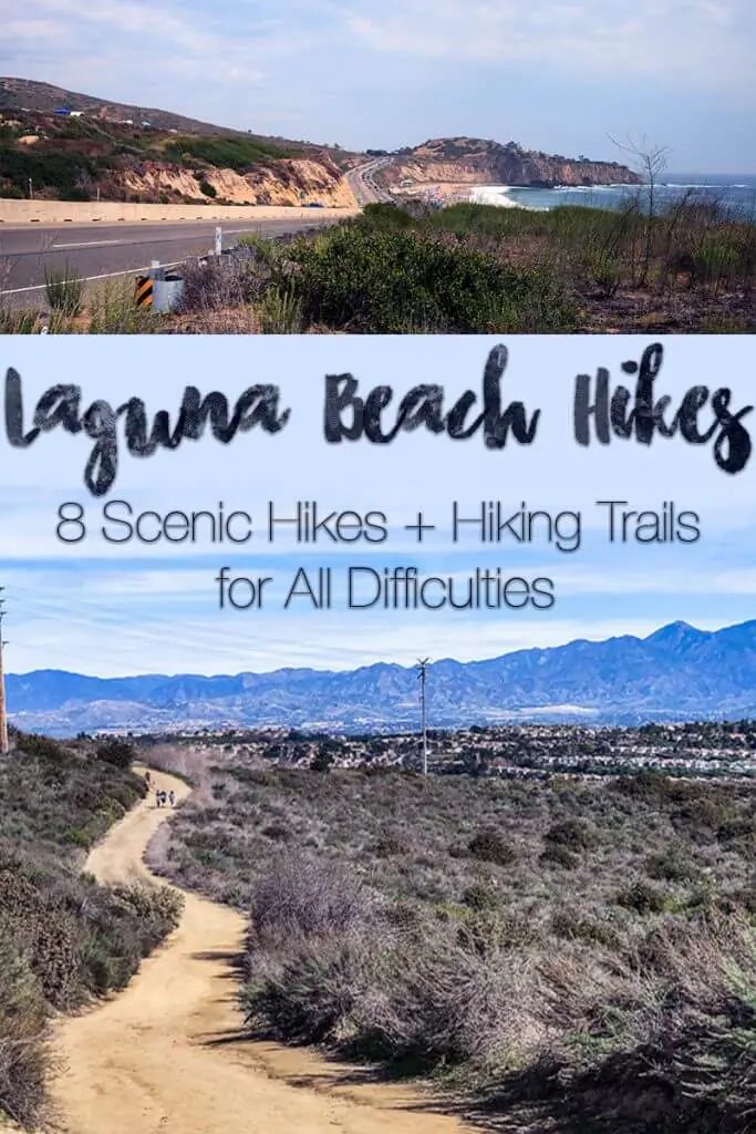

Crystal Cove Trail – Beach Headlands
Difficulty: Easy
Length: 1-2 miles if exploring all trails
The Crystal Cove Trail at Pelican Point is one of the easiest Laguna Beach hikes with amazing beach views – and these are beach views where you can actually hear the ocean, not just see a blue sliver from far away! So throw on your best hiking leggings and check it out.
On the other side of Pacific Coast Highway from the tough Moro Ridge/Canyon Trails, you have Pelican Point and Reef Point – two different parts of a friendly little bush area with a few miles of trails overlooking protected beaches and coves of the area.
I recommend parking at Pelican Point, exploring for a little, and then definitely stopping at Shake Shack for burgers and shakes with a view! The beaches are also amazing in the area with some old historic houses which are fun to explore.

Top of the World
Difficulty: Easy
Length: Variable
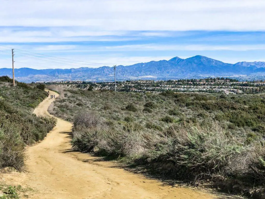
Of course, I have to name the most famous and favorite of the laguna beach hikes: Top of the World! This aptly named area is next to Laguna Alta Park, which is also a great place to hang out if you’d rather bring a backpacking chair to sit enjoy the view. To get here, you’ll have to drive all the way up Thalia street from Pacific Coast Highway.
Tops of the World is essentially the ending point of a few trails that begin in the Aliso + Woods Canyon – namely the West Ridge Trail. If you’d like to, this is a great place to start a massive looped hike that descends into the canyon behind Laguna Beach.
But, if you’re like my friends and me, you’ll most likely want to meander along the West Ridge trail until it feels right to turn back! 😛 This usually ends up about 15-20 minutes each direction for us, but see how you feel on the day.
Other Laguna Beach Hiking Trail Connections to Top of the World
Car Wreck Trail: This would leave you down at the bottom of Aliso Canyon with a steep ascent back up.


Car Wreck Trail
Difficulty: Hard
Length: 0.7 miles one-way (but must be connected to other trails) Recommended: 3 miles
While Car Wreck trail is one of the most talked-about Laguna Beach hikes, it’s really just a small and tough connection between a few other hiking trails in Aliso and Woods Canyon Wilderness. Car Wreck Trail is most easily accessed from Top of the World, but once you take the (at times nearly vertical) trail down into Aliso Canyon, you’ll have to find your way back up!
As its name suggests, there is a car wreck nearly at the bottom of the hiking trail. I could honestly not even remotely give you a clue as to how it got there – it must have fallen a LONG way – but I do know that it’s quite the Laguna Beach/Aliso Viejo icon and a GREAT photo op!
If coming from Top of the World, I suggest grabbing your hiking backpacks, hiking down West Ridge Trail to Car Wreck Trail, hiking down Car Wreck Trail to Oak Ridge Trail, and then back up Mathis Canyon Trail and back to Top of the World. This would be a strenuous yet shorter Laguna Beach hike – about 3 miles in total with a lot of elevation gain. You can always extend your hike, too – there are dozens of great trails in Aliso and Woods Canyon Wilderness begging to be explored!
Other Laguna Beach Hiking Trail Connections to Car Wreck Trail
There’s a whole world of trails in Aliso and Woods Canyon! From Car Wreck Trail you can reach Coyote Run Trail and take that to Rock-It Trail and back to West Ridge Trail for a tougher 5.5 mile loop from Top of the World. For even longer, you can take Wood Canyon Trail to Lynx Trail to West Ridge Trail and back to Top of the World for a 6 mile loop.


Laguna Beach Cliff Hike
Difficulty: Moderate
Length: 700m
One of the newer Laguna Beach Hikes, the “Laguna Beach Cliff Hike” (as visible on Google Maps) is one of the few hiking trails in south Laguna Beach. This tiny little trail begins off Valido Road (which stems off West St not too far up from PCH). The Trail begins as Valido Trail and then turns into Toovet Trail when it starts coming back again.
The Laguna Beach Cliff Hike then ascends quite steeply up toward Aliso Peak, which is the trail’s main amazing viewpoint! From here you’ll have views over all of South Laguna. When you get back down you’ll DEFINITELY deserve a big meal from Papa’s Tacos afterwards, my favorite Mexican food in the area.
Other Views and Hikes Above South Laguna Beach
As a side note, the only other hike/viewpoint in South Laguna is actually only accessible from my hometown, Laguna Niguel. If you have time, check out Badlands Park and Seaview Park Trail which look directly over South Laguna Beach. You have to take Pacific Island Drive up to either of these parks.
These parks have amazing views of Laguna Beach and limited hiking trails. However, I can confirm that it is possible to find tiny trails that descend down to PCH from here – they will dump you out near the hospital or near Laguna Beach Cliff Hike. You’ll just have to find a way back afterward!


Water Tank Trail + Laguna Bowl Loop
Difficulty: Moderate
Length: 4 miles
One of the most popular trails in the Laguna Coast Wilderness Park is Water Tank Rd. Very unsurprisingly, there’s a massive water tank part of the way up the trail which has given it its name!
Water Tank Trail may look daunting at the beginning, and the first few hundred meters climb up at quite the incline. However, you’ll forget the pain in your legs once you get a glimpse of the sweet, sweeping ocean views! You can go up and back on water tank trail to make a hike of 2.8mi, but if you’re like me, you’ll want to hike back down on another trail to make things for interesting.
The most popular loop hike to take with Water Tank Trail is Laguna Bowl Rd. The two trails meet about 1.5 miles up the will, and Laguna Bowl Rd will take you back down to Broadway Street almost across from the Sawdust Festival. Pak somewhere central and the walk to either trailhead won’t be long – and you can stop for a drink afterward downtown!
Other Laguna Beach Hiking Trail Connections to Water Tank Trail:
You can also Hike up Water Tank Trail and down Boat Road which would leave you in Emerald Bay. You can connect to Bommer Ridge Trail which would take you up near the 73, or Emerald Canyon Road which would Loop you back into Emerald Bay.

Boat Road + Emerald Canyon Hike
Difficulty: Hard
Length: 4.8 miles
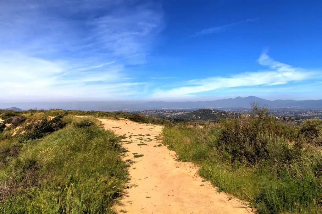
Just a bit farther up from Water Tank Road within the Laguna Coast Wilderness is Boat Road – a steep 2.6 mile trail that takes you up to beautiful Bommer Ridge in the hiking area known as Dartmoor. From here you’ll have amazing views, and can actually connect to 4 or 5 different Laguna Beach Hiking trails from there.
I recommend going up Brommer’s Ridge from Boat Road and down Emerald Canyon Rd for a nice 4.8 mile loop that leaves you in a similar neighborhood from where you started in Emerald Bay – one of the popular Laguna Beach hikes that should take you about 2 hours.
Emerald Canyon Rd is a popular hiking trail in itself, and if you desire you can take this ridge road over 3 miles up into the Laguna Coast Wilderness hinterland for a lengthy Laguna Beach hike.
Other Laguna Beach Hiking Trail Connections to Boat Road:
Bommer Ridge Trail takes you up near the 73, and Water Tank Trail or Laguna Bowl will take you back to downtown.

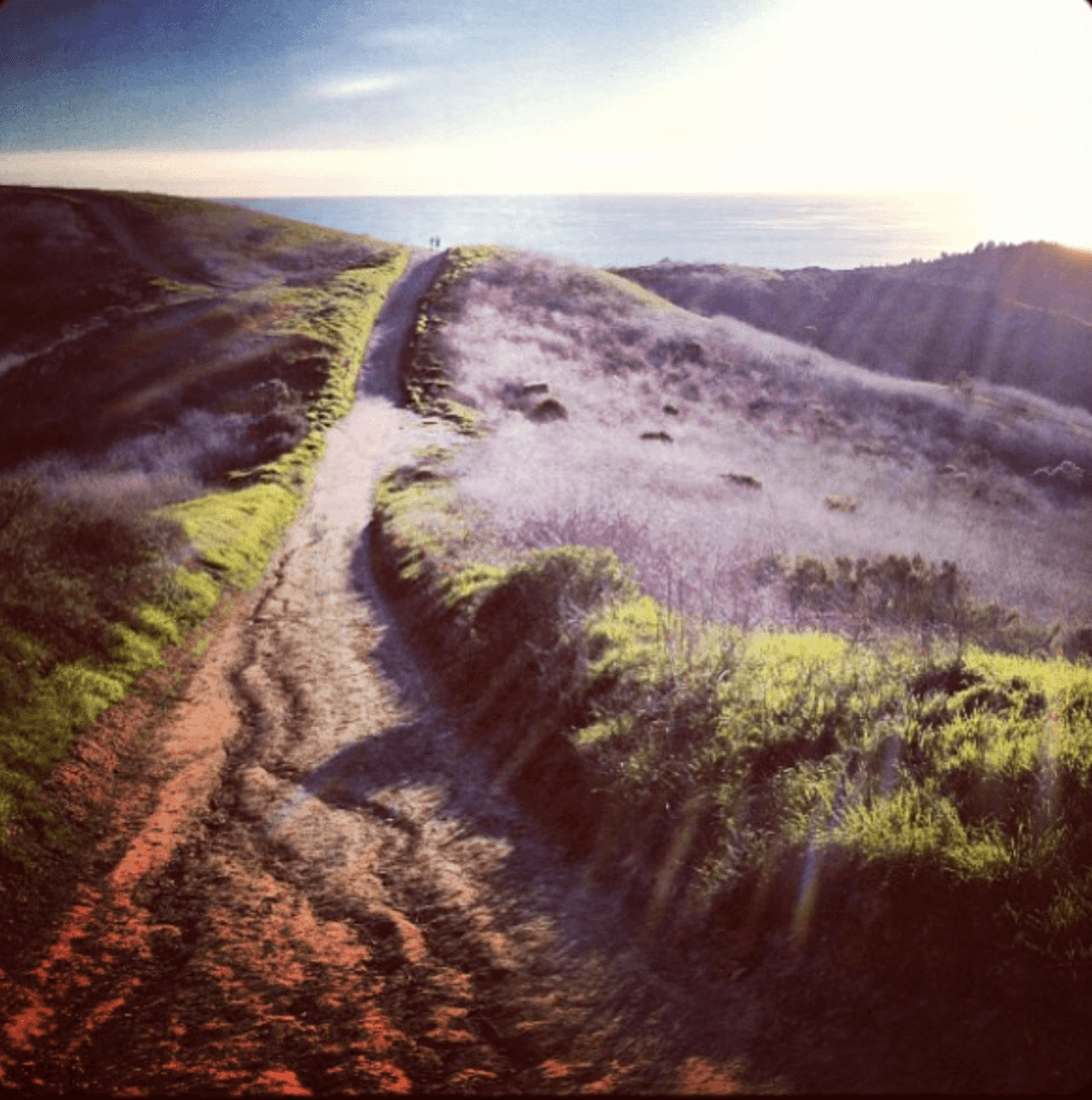
Moro Ridge Road Trail Hike
Difficulty: Easy to Hard
Length: 3.6 miles one way
Getting into some more northern Laguna Beach hikes now, we have Moro Ridge Rd. Moro Ridge Rd Trail starts from the parking lot across from Crystal Cove State Beach – basically at the bottom of that GORGEOUS beach view you get when you come over the hill on PCH from Emerald Bay (I’m sure you know the one)!
Moro Ridge Rd is Part of Crystal Cove State Park. Similarly to many of these Laguna Beach Hikes, it actually stretches all the way from the coast to basically the Toll Road. If you want an Easy Laguna Beach Hike, you can do a 1-mile return hike from the Crystal Cove parking lot to Moro Ridge Lookout, and back.
As its name suggests, this is a ridge hike so it will give you great views of the ocean! If you keep going along Moro Ridge Rd, you will reach upper and lower Moro Campgrounds if you are interested in an actual backpacking trip and exploring some more trails in Crystal Cove.
Other Laguna Beach Hiking Trail Connections to Moro Ridge:
If you take Moro Ridge Trail to the very end, you can even connect with some on the Laguna coast Wilderness Trails such as Emerald Canyon and Brommer’s Ridge. There’s no limit to how far you can go around here, for full or even multi-day hikes.

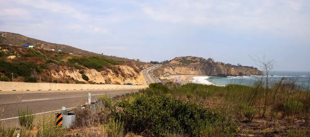
Crystal Cove State Park Hiking Loop
Difficulty: Hard
Length: 9.7 Miles
Crystal Cove State Park Hike is one of the most challenging and lengthy Laguna Beach hikes suited for experienced hikers. This hike actually encompasses 4 or 5 different Laguna Beach hiking trails into one really long loop that’s best started either early in the morning, or not on a hot summer’s day!
For this hike, you’ll want to park near the Crystal Cove campgrounds and head up “No Dogs” Trail to a trail that’s literally called “No Name Ridge.” This is when it gets quite tough! Take No Name Ridge ALL the way up to Bommer’s Ridge Trail (one of the longest Laguna Beach Hiking Trails – when you get there you’ll be near the Toll Road). Follow this until you hit Fenceline Trail, and make a right on Slow N Easy Trail until you hit Morro Canyon. You can essentially take this trail back to the campground where you parked.
This is one of the Laguna Beach hikes that will be more full of bushes and canyons than sea views, but with its length, it will have a little bit of everything! Check here for a Crystal Cove St Park trail map.
Other Laguna Beach Hiking Trail Connections to Crystal Cove Loop:
If you want something a bit longer and tougher with more views, you can connect to Moro Ridge Trail at the top of the Crystal Cove Loop rather than Moro Canyon Trail.

Passionate, full-time travel blogger with over 230k on social media and 150kMPV blog. Extraordinary photographer with two DSLR's + a drone with a love for capturing candid moments, epic drone shots, and magical compositions. I'm a natural-born content creator originally from California, but I've been on the road for 9 years living, working, traveling, blogging, and photographing my way around the world. I recommend the most amazingly adventurous and unique + boutique travel experiences/stays and helpful products to my audience and write comprehensive guides on my website that have helped millions of travelers so far. I love to inspire people to plan their dream trips, and many readers have given feedback as such. The reach on my platforms continues to soar, especially when combining cutting-edge social content with optimized articles on my high-authority website.